
News Summary
Kentucky residents should prepare for potential flash flooding as a cold front brings anticipated heavy rainfall and storms. The National Weather Service has issued warnings for 1 to 3 inches of rain, particularly affecting low-lying areas. Additional concerns surround localized flooding and safety measures, including avoiding flooded roads and downed power lines. With the history of significant flooding events, the community is encouraged to stay informed and ready for any emergency alerts.
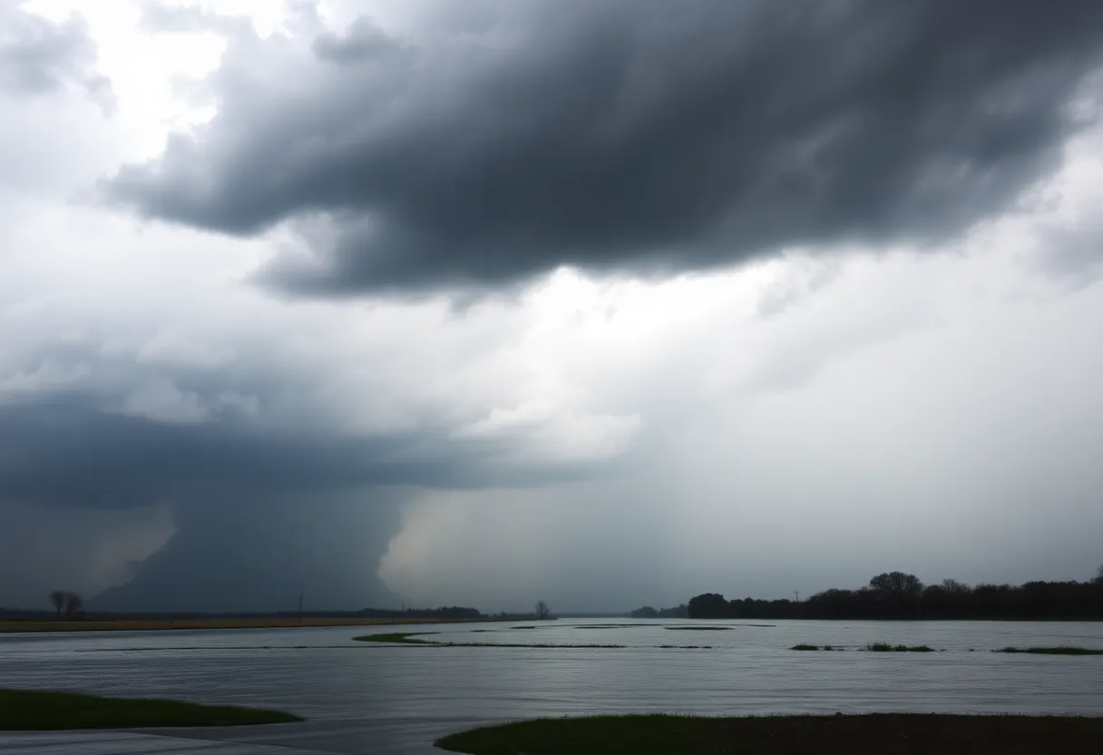
Kentucky Weather Alert: Flash Flooding Risks as Cold Front Brings Heavy Rain
Kentucky residents are bracing for potential flash flooding due to an incoming cold front that is forecasted to bring substantial rainfall and storms over the coming days. The National Weather Service has issued warnings as rainfall amounts are expected to reach between 1 to 3 inches, with slow-moving storms likely to cause localized flooding in low-lying areas.
Currently, early morning conditions will feature patchy fog, giving way to a partly sunny day. Afternoon temperatures will rise to the upper 80s, with the humidity making it feel as if the temperature is in the lower to mid-90s. There is also a slight chance of an afternoon downpour, but most areas will remain dry for the time being.
The risk of flash flooding is heightened during this time of year, especially in July and August, which are historically the months most prone to these weather events in Kentucky. Residents are advised to stay vigilant and be aware of their surroundings. Should flash flood warnings be issued, individuals in low-lying areas are urged to seek higher ground immediately.
Potential Hazards from Heavy Rain
Flash flooding is characterized by rapid accumulation of rain, often overwhelming streams and streets in under six hours. It is crucial for residents to avoid driving through flooded roads; taking alternate routes is advisable in such conditions. Additionally, swimming in floodwaters should be avoided, as these areas can contain dangerous debris and contaminants. It is also important to keep a safe distance from downed power lines during storms.
Recent Weather Events
Past weather events serve as a stark reminder of the dangers associated with heavy rainfall in Kentucky. In April of this year, excessive rain led to significant flooding, resulting in seven fatalities. More devastatingly, in July 2022, historic heavy rains wreaked havoc across Eastern Kentucky, claiming at least 39 lives and causing widespread damage to homes and infrastructure.
Community Support Services
Other Local Updates
In Lexington, changes are on the horizon for parking in the Distillery District. A new validation system and enforcement will commence on July 15, aimed at improving parking management in this busy area.
Conclusion
Deeper Dive: News & Info About This Topic
HERE Resources
Severe Weather Prompts State of Emergency in Kentucky
Flood Watch Issued for Bowling Green, KY Amid Rain Forecast
Bowling Green Infrastructure Improvements Tackle Traffic Growth
Bowling Green Schools Appoints New Director of Instructional Programs
Community Mobilizes for Flood Relief in Bowling Green
Kentucky Faces Tragic Aftermath of Violent Storms
Severe Storms Claim Lives and Devastate Kentucky Communities
Bowling Green, Kentucky Faces Historic Flooding
Historic Flooding Causes Sinkholes and Emergency in Bowling Green, KY
Severe Flooding Hits Warren County, Kentucky: Farmers in Crisis
Additional Resources
- Fox 56 News: Kentucky Weather Tomorrow
- Wikipedia: Weather in Kentucky
- Spectrum News: Kentucky Evening Briefing
- Google Search: Kentucky Weather Alerts
- Kentucky.com: Weather News
- Encyclopedia Britannica: Kentucky
- Fox 56 News: Kentucky Weather Today
- The Weather Channel: Morning View, KY