
News Summary
Governor Andy Beshear has declared a state of emergency in Kentucky as severe weather approaches. A Tornado Watch is in effect for multiple counties until early Saturday morning, with risks of tornadoes, damaging winds, and heavy rainfall. Flooding concerns are also heightened, prompting travel warnings and school announcements. Residents are urged to stay informed and prepare for potential power outages and hazardous conditions ahead of the severe weather expected Friday afternoon to evening.
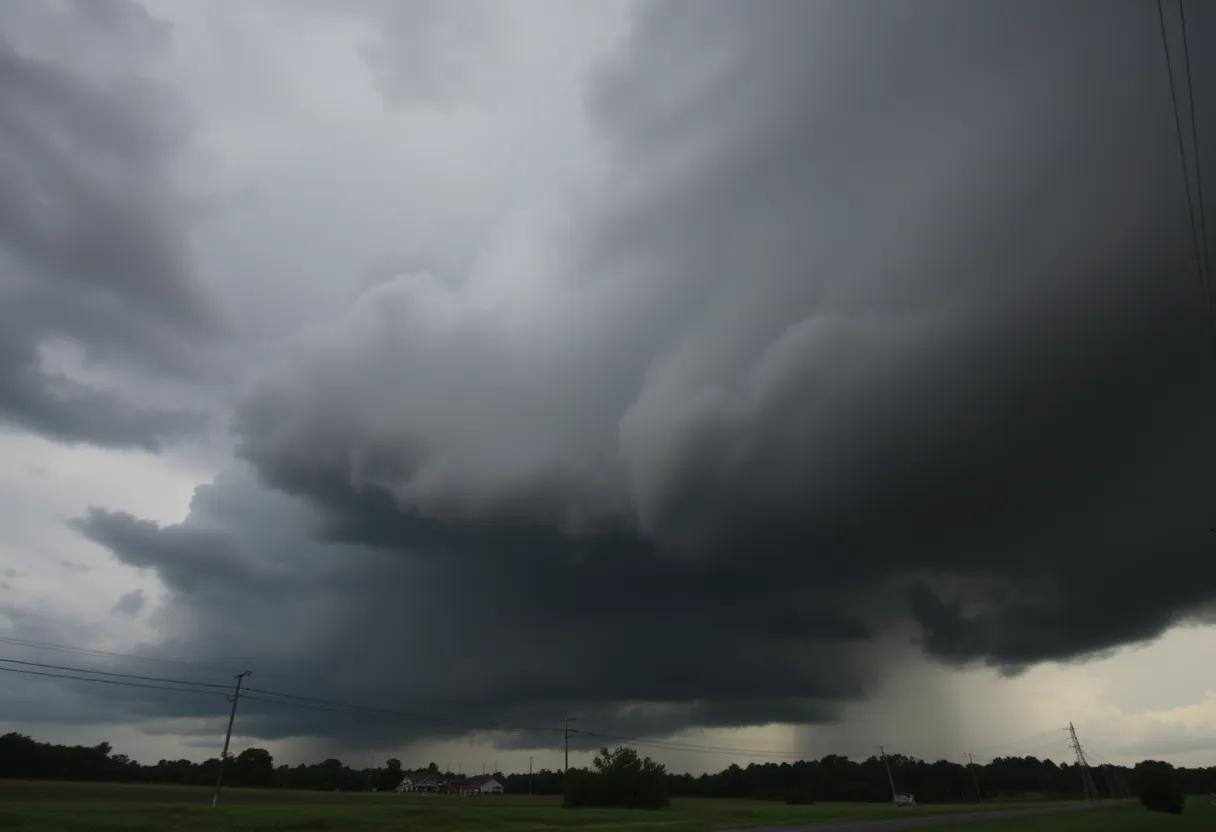
Frankfort, Kentucky – Severe weather is imminent in Kentucky and Indiana as Governor Andy Beshear has declared a state of emergency ahead of expected storms on Friday afternoon and evening. The National Weather Service has issued a Tornado Watch for several counties in Kentucky, warning residents of possible tornadoes, damaging winds, large hail, and heavy rain.
The Tornado Watch is in effect until 3 a.m. EDT for the following counties: Adair, Carroll, Franklin, Green, Hart, Henry, Larue, Marion, Nelson, Shelby, Spencer, Taylor, and Washington. Additionally, a Flood Watch has been established for Grayson, Hardin, Nelson, Washington, Larue, Marion, Green, Taylor, and Adair counties, lasting through late Friday night.
Severe thunderstorms are projected to develop, especially in the afternoon, with damaging winds potentially reaching hurricane-force levels. Rainfall could be torrential, estimated at 1 to 3 inches, raising flooding concerns across Central and Western Kentucky.
The risk of tornadoes is particularly notable in western Kentucky, especially near towns such as Paducah, Owensboro, Madisonville, and Hopkinsville. As the storms approach, Floyd County schools have announced they will not dismiss students as scheduled due to the ongoing severe weather forecasts.
Travel across parts of Kentucky could become hazardous today as heavy rain and severe winds are expected, prompting warnings from the National Weather Service. Residents are advised to remain alert, keep weather alerts activated on their devices, and seek shelter when necessary.
The forecast indicates that the worst of the severe weather will occur between 3 p.m. and 1 a.m. EDT. With the potential for strong winds and storms, there is also an increased risk of power outages. Residents are cautioned to stay away from downed power lines and to plan for possible electricity disruptions.
This severe weather outlook follows a pattern of turbulent conditions that affect the region, especially in the spring months when severe storms are more prevalent. Preparedness resources and community alerts are essential to ensure safety during such extreme weather events.
In summary, residents are urged to remain vigilant and informed as the severe weather events unfold. Taking preemptive actions, such as securing outdoor items, preparing emergency kits, and staying updated with local forecasts, can enhance safety and readiness in the face of these potential hazards.
Deeper Dive: News & Info About This Topic
HERE Resources
Historic Flash Flooding Hits Multiple States
Historic Flash Flooding in Ruidoso, New Mexico Claims Lives and Causes Destruction
Bowling Green Faces Urgent Public Works Infrastructure Needs
Man Rescued from Riverbank After Police Pursuit in Bowling Green
Severe Weather Outbreak in Kentucky Claims Lives
Bowling Green Man Arrested for Drug Trafficking
New Autism Support Center Opens in Bowling Green, Kentucky
Flood Watch Issued for Bowling Green, KY Amid Rain Forecast
Bowling Green Man Charged Following Police Pursuit
Bowling Green to Host Thunder Fest
Additional Resources
- WHAS11 News
- Wikipedia: Severe Weather
- Fox 56 News
- Google Search: Severe Weather Kentucky
- Kentucky.com
- Google Scholar: Kentucky Severe Weather
- CNN
- Encyclopedia Britannica: Weather Alerts
- Fox 56 News – Tornado Warnings
- Google News: Kentucky Weather Alerts